 Tours
Tours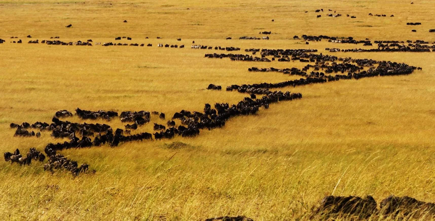
NoMiddleManTours · Jun 22, 2026 · 12 min read
The Serengeti is not one landscape but four, and the gradient between them is the engine of the Great Migration. This is the ecology behind the spectacle — why the calving plains are mineral-rich, what kopjes really do, and how grass and rainfall move 1.5 million wildebeest in a yearly loop.
The reason a million and a half wildebeest walk a thousand-kilometre loop every year is not instinct in any mystical sense — it is geology and grass. The Serengeti is not a single landscape but a gradient of them, laid down by volcanoes and sorted by rainfall, and each animal you see is positioned exactly where the food, water and cover happen to favour it that month. Understand the gradient and the famous chaos of the migration resolves into something almost legible: the herds are simply chasing the best grass, and the best grass moves on a predictable arc. This is the ecology behind the spectacle — what the plains are made of, why the wildebeest calve where they do, and how the land itself sets the route.
 Destination
Serengeti National Park
national_park
Four landscapes, one machine#
Most people picture the Serengeti as endless flat grassland, and the southeast is exactly that. But the 14,763-square-kilometre park is really four distinct landscapes stitched together, and the migration moves between them because each peaks at a different time of year.
| Sub-region | Landscape | Soil / water | Peak event | Months |
|---|---|---|---|---|
| South (Ndutu) | Treeless short-grass plains | Volcanic ash, calcium- & phosphorus-rich; seasonal soda lakes | Calving — ~500,000 born in weeks | Dec–Mar |
| Central (Seronera) | Rolling long-grass plains, granite kopjes, riverine woodland | Seronera River = year-round water | Highest resident predator density | Year-round |
| West (Grumeti) | Wooded corridor, riverine forest, the Grumeti River | Permanent river, deeper soils, taller grass | Grumeti River crossings | May–Jul |
| North (Kogatende/Lobo) | Green rolling hills, riverine forest, the Mara River | Higher rainfall, permanent rivers | Mara River crossings | Jul–Oct |
The herds are not wandering. They are tracking a wave of fresh, nutritious grass that follows the rain — short and mineral-dense in the southern wet season, then taller and coarser as they push north into higher-rainfall country in the dry months. The whole circuit is the animals staying on the leading edge of that wave.
Why the south is the nursery: volcanic ash and the calving plains#
Here is the single most important fact in Serengeti ecology, and the one most safari brochures skip. The short-grass plains of the south, around Ndutu and Naabi Hill, are blanketed in volcanic ash blown out of the Ngorongoro highlands and the still-active Ol Doinyo Lengai over hundreds of thousands of years. That ash is unusually rich in calcium and phosphorus, and a hard sub-surface layer of cemented ash (a calcrete hardpan) sits close to the surface, which is exactly why no deep-rooted trees grow here — the plains are treeless not by accident but by chemistry. The grasses that do grow are short, fast-cycling, and loaded with precisely the minerals a lactating wildebeest and a growing calf need: calcium for milk and bone, phosphorus for growth.
That is why roughly half a million wildebeest calves are dropped on these plains in a tight three-to-four-week window in February. It is not sentiment and it is not safety — a treeless plain offers no cover from predators at all. It is nutrition. The mothers gather where the grass will build the strongest calves, and they synchronise the births so that the sheer flood of newborns swamps the lions, cheetahs and hyenas: any single predator can only eat so many, so a given calf's odds improve simply by being one of a million born at once. This is the predator-saturation strategy, and it only works because the volcanic soil makes the southern plains worth the risk.
The flip side is the danger. A treeless plain with half a million vulnerable calves is the most intense predator theatre on Earth — January to March on the southern plains is when you see the most hunting, the most cheetah activity (open ground suits their sprint), and the most kills of the whole year. The plains that feed the herds also expose them.
 Mid Range
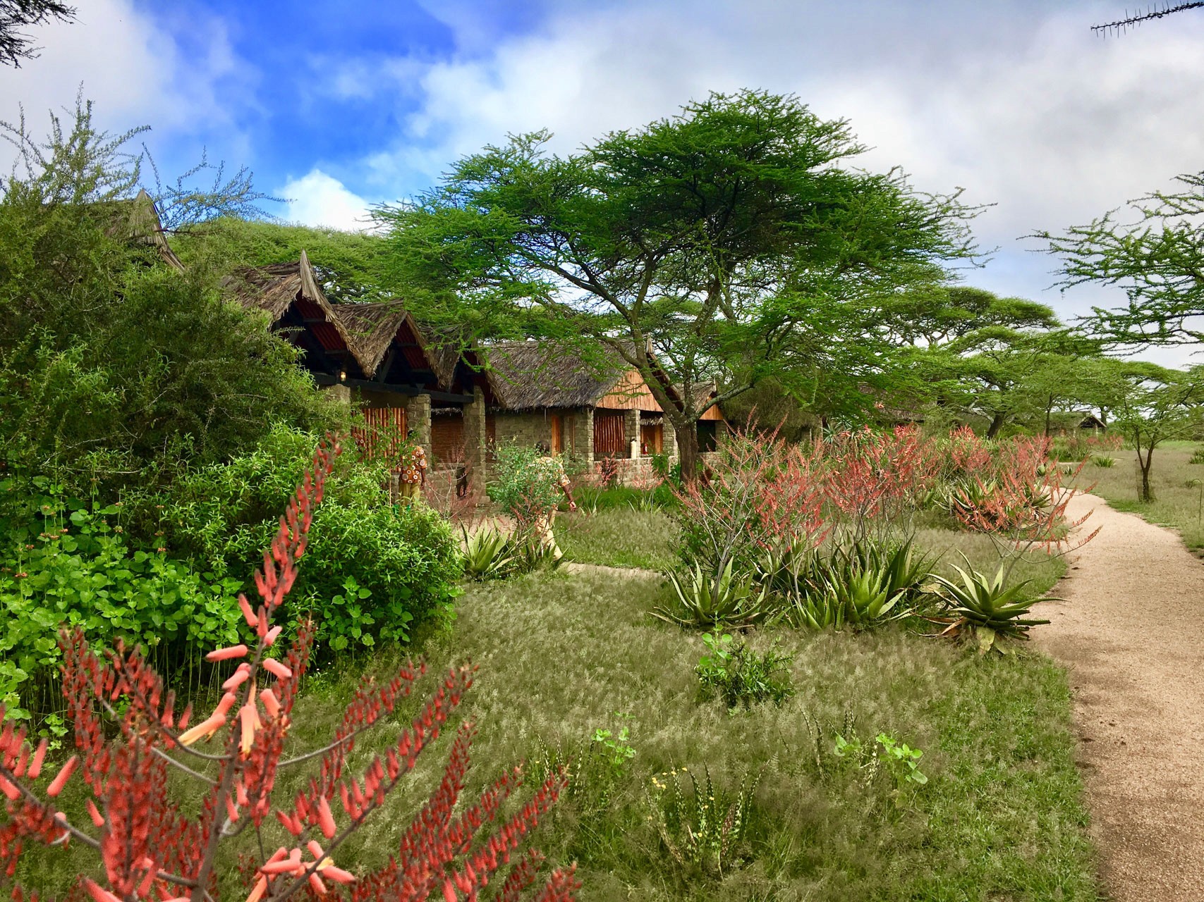
Ndutu Safari Lodge
Mid Range · Serengeti National Park
The central plains: long grass, permanent water, and the densest cats in Africa#
Move north and the soil deepens, the ash thins, and the grass grows tall. Central Serengeti around Seronera is rolling long-grass plain broken by acacia woodland and threaded by the Seronera River, which holds water all year. That permanence is the key difference from the south: where Ndutu empties out when the rains stop, Seronera always has water, so it always has prey, so it always has predators. This is why central Serengeti carries the highest density of big cats anywhere in Africa — lion, leopard, cheetah and hyena are all resident here every month of the year, migration or no migration.
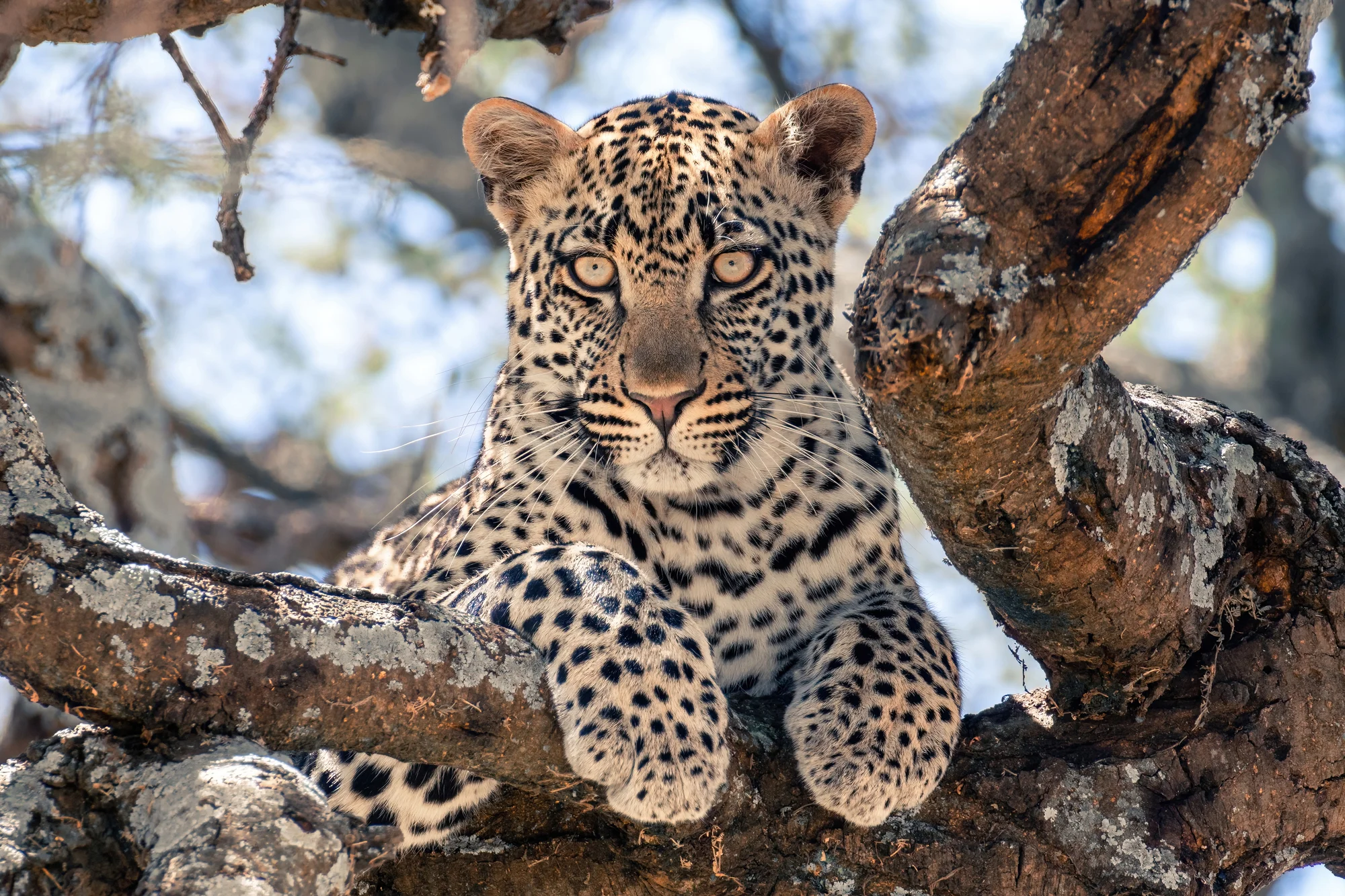
The tall grass is also why your guide reads the landscape differently here than in the south. On the open southern plains you scan with binoculars across kilometres; in Seronera's longer grass and woodland the cats are hidden until you are close, and the river valley's trees become the place to look. The Seronera River Valley holds the highest concentration of leopard in Tanzania for exactly this reason — riverine forest gives them shade, a vantage and a place to hoist a kill. The grass that hides prey from you also hides predators from prey, which is what keeps the density so high.
Kopjes: the islands that run the ecosystem#
Scattered across the plains are the kopjes (pronounced "kopeez") — abrupt islands of ancient granite poking up through the grass, technically inselbergs, weathered remnants of the bedrock that pre-dates all that volcanic ash. They look like a scenic detail. They are actually one of the most important micro-features in the whole system.
A kopje does several jobs at once. It catches and holds rainwater in rock pools and crevices long after the surrounding plain has dried, creating tiny year-round oases. Its shade and its soil pockets let trees, figs and shrubs grow where the open plain allows none, so it becomes a concentrated patch of cover, fruit and nesting sites in an ocean of grass — a microhabitat for hyrax, agama lizards, klipspringer, snakes and birds that the plain itself cannot support. And for the big cats it is a strategic asset: a lioness lying flat on a warm kopje at dawn has shade, a windbreak after a cold night, and an elevated lookout over game moving across open ground for kilometres. The Moru Kopjes in the south-central park are the most famous cluster — also the only reliable place in the entire Serengeti to find the park's tiny relict population of black rhino, and the site of ancient Maasai rock paintings and a "gong rock" used for generations. When a guide makes for a kopje mid-morning, this is why: the rock concentrates everything.
 Luxury
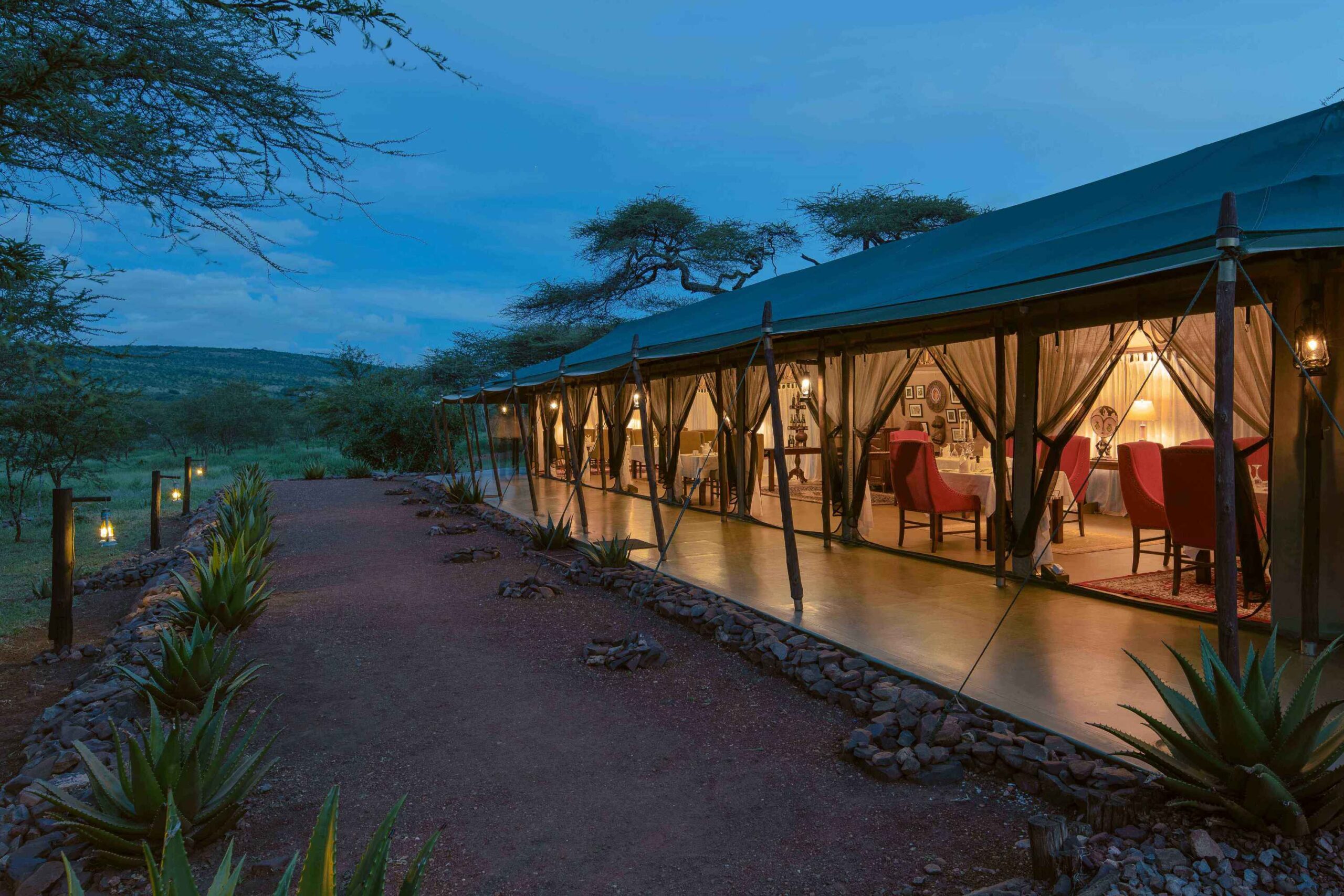
Ole Serai Luxury Camp — Moru Kopjes
Luxury · Serengeti National Park
The river systems: where the gradient becomes drama#
Two rivers turn the migration from a slow grazing arc into the violent set-pieces everyone has seen on film. As the southern plains dry out from June, the herds funnel northwest and west into the Grumeti corridor, where the Grumeti River carries some of the largest crocodiles in Africa — animals that essentially fast for most of the year and time their feeding to the few weeks the herds must cross. Further north and later in the year, the wider, faster Mara River in the Kogatende sector produces the iconic July-to-October crossings, where thousands of wildebeest pile into the water under crocodile attack and the constant threat of drowning in the crush.
The crossings are not the herds being foolish. They are the cost of the gradient. By the dry season the only fresh grass left is in the higher-rainfall north, and the rivers simply sit between the herds and that grass. The animals cross because the alternative — staying on exhausted southern range — is worse. Note the scale of the country involved, because it dictates how you plan a trip: Seronera in the centre to Kogatende in the far north is a 5-to-6-hour drive across the park (most fly the leg), and the western Grumeti corridor is another 2.5-to-3 hours from Seronera. The Serengeti is not a place you "do" in a day, and the river you want to watch depends entirely on the month.
How rainfall and grass actually set the route#
Stitch the pieces together and the yearly loop is just the herds following two things: rain and the grass it grows.
| Months | Where the herds are | Why — the land's logic |
|---|---|---|
| Dec–Mar | Southern short-grass plains (Ndutu) | Wet-season rain greens the mineral-rich ash plains; herds calve on the most nutritious grass |
| Apr–May | Central Serengeti, dispersing | Long rains; herds spread across the central plains; the quietest, greenest, cheapest weeks |
| May–Jul | Western corridor (Grumeti) | Southern grass spent; herds push northwest, cross the Grumeti River |
| Jul–Oct | Northern plains (Kogatende/Lobo) | Only the high-rainfall north still holds fresh grass; the Mara River crossings happen here |
| Nov–Dec | Returning south through the centre | Short rains green the southern plains again; the herds turn back toward Ndutu to begin the loop anew |
The mechanism beneath the table: short, mineral-rich grass in the south is irresistible but only available in the wet season; tall, coarser grass in the higher-rainfall north lasts through the dry season but is less nutritious. The herds spend the wet months banking quality in the south (calving, building condition) and the dry months banking quantity in the north (surviving on bulk forage near permanent water). The Great Migration is the line connecting those two strategies, drawn by rainfall and walked by instinct.
A nuance the calendar can't capture: the migration has no timetable. It is driven by rainfall, and rain varies year to year, so the herds can be weeks early or late, and "crossing season" is a probability, not a booking. The plains move the animals, not the date on a brochure — which is exactly why a trip that floats with the season, rather than fixing on one famous river, almost always sees more.
 Itinerary
8-Day Extended Migration River Crossing Safari
8 days · From $2,477 pp
What this means for planning your safari#
The practical upshot is simple: match the sub-region to the month, not the other way around. If you want the calving spectacle and the most intense predator action, go to the southern Ndutu plains in February. If you want the river crossings, go to the northern Kogatende sector between July and October. If you want the best year-round resident game — the densest cats, leopards in the riverine forest, no dependence on where the herds happen to be — base in central Seronera any month of the year. The western Grumeti corridor is the quieter alternative for the June crossings.
One operational reality ties all of it together: the Serengeti runs on gate hours, 6 AM to 6 PM, with no driving after dark, so the difference between a good day and a wasted one is being inside the right landscape at first light rather than driving toward it. Where you sleep, in which sub-region, is the single biggest lever you have on what you see. To trace the full grass-and-river arc south-to-north, or to find the trip that puts you in the right landscape for your dates, start here:
Follow the Great MigrationFrequently asked questions#
Why are the southern Serengeti plains treeless? A near-surface layer of cemented volcanic ash (a calcrete hardpan) and a shallow, mineral-rich ash soil stop deep-rooted trees from establishing, so the southern plains around Ndutu stay open short grassland. The same chemistry makes the grass calcium- and phosphorus-rich, which is why the wildebeest calve there.
Why do wildebeest calve on the southern Serengeti plains? The volcanic-ash soil grows short grass loaded with calcium and phosphorus — exactly what a nursing mother and a fast-growing calf need. The herds also synchronise some 500,000 births into a few weeks in February so that predators are swamped and any single calf's survival odds improve. It is a nutrition-and-numbers strategy, not a search for cover.
What is a kopje and why does it matter for wildlife? A kopje is an outcrop of ancient granite (an inselberg) rising from the plains. It traps rainwater, supports trees and shrubs the open plain cannot, and so becomes a microhabitat for hyrax, lizards, birds and small mammals. For lions and other cats it provides shade, shelter and an elevated lookout over game crossing the open ground.
Does the migration follow a fixed route and schedule? The general loop is predictable — south for calving in the wet season, north toward the Mara River in the dry season — but the timing is driven by rainfall and varies year to year. Herds can arrive weeks early or late, so any given week is a probability rather than a guarantee.
Which Serengeti landscape has the most wildlife year-round? Central Serengeti around Seronera, because the Seronera River holds water all year, keeping prey and therefore predators resident every month. It carries the highest density of big cats in Africa and the highest leopard concentration in Tanzania, independent of where the migrating herds are.
Where are the famous river crossings, and which river? The most dramatic crossings happen on the Mara River in the northern Kogatende and Lobo sectors, roughly July to October. Earlier in the year, around May to July, the herds cross the Grumeti River in the western corridor. The river you watch depends on the month.
How far apart are the Serengeti sub-regions? Central Seronera to the northern Kogatende sector is a 5-to-6-hour drive across the park (most travellers fly the leg in about 45 minutes), and the western Grumeti corridor is about 2.5 to 3 hours from Seronera. The southern Ndutu plains are roughly 2 hours from Seronera. The park is vast, so plan around one or two sub-regions, not all four.
When is the best time to visit the Serengeti for landscapes and wildlife? Every month delivers something different: December to March for the green southern calving plains and peak predator action, July to October for the northern Mara crossings, and April to May for lush, quiet, low-cost central plains. Central Seronera is the strongest year-round choice if you want resident big cats regardless of the migration.
Ready to plan the real thing?
Compare honest, all-in safari packages with real lodge choices — straight to the local operator, no middleman.
Browse safari packagesKeep reading
destinations
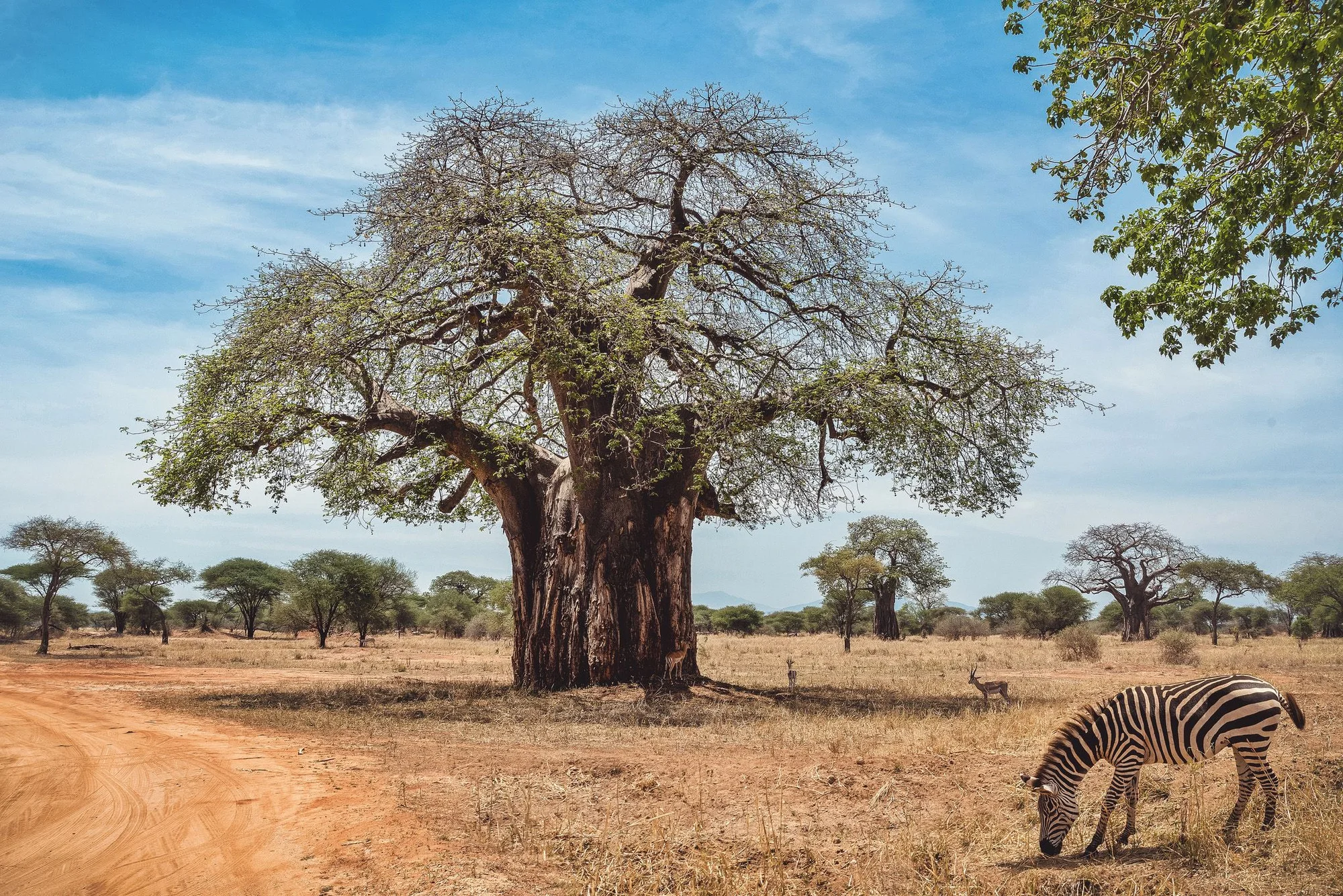
The Upside-Down Trees: Tanzania’s Baobabs
wildlife
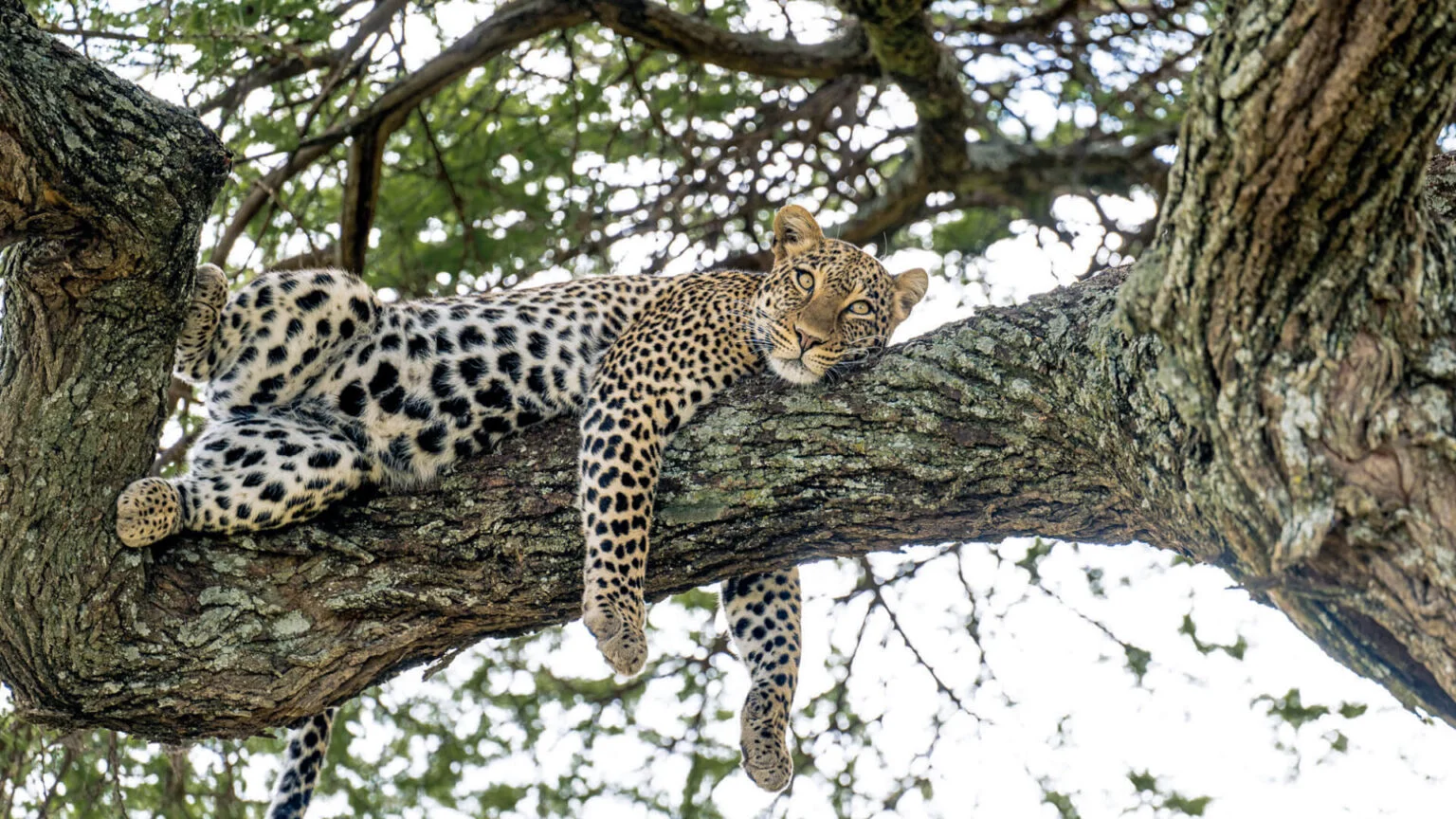
The Big Five in the Serengeti: Four You’ll Find, One You’ll Earn
wildlife
Hyenas in Tanzania: Spotted, Striped and Wildly Misunderstood
wildlife
Black Rhino in Tanzania: Finding the Rarest of the Five
planning
What a Tanzania Safari Really Costs, Line by Line
planning
Lodge, Tented Camp or Mobile? Safari Stays in Tanzania, Explained